Parts of the United States Radar (radarUS) block were not working as they changed to https. This is for those who want to change the block code themselves prior to block updates. I followed each individual URL in the code checking which have now been changed from http to https. Not all have changed at this point, but I changed over those that are now showing https. In the process I discovered the Ozone Concentration image link was broken, and Max/Min Temperatures image has changed to get to the current date. I have also changed those links in the block code below, and I'll watch them for a day or two to test that they are updating by date.
Here is a cut and paste of the code showing the URLs as they exist currently as I write this post. Some may change again. This group of URLs repeats four times in the block code for different setups, so all have to be changed. You can't actually click on some of these URLs of course in this forum as this includes code in between. Along with other forum members I'm trying to resolve some of these changes to save Jachym some time when he does updates, as he is very busy with his new job.
<option value="https://radar.weather.gov/Conus/Loop/NatLoop_Small.gif" <?php if($nationalDefault=="doppler"){ echo "selected"; }?>>Doppler</option>
<option value="http://www.ssd.noaa.gov/PS/PCPN/DATA/RT/NA/IR4/20.jpg" <?php if($nationalDefault=="ir"){ echo "selected"; }?>>Infrared</option>
<option value="http://www.ssd.noaa.gov/PS/PCPN/DATA/RT ... g">Visible Light</option>
<option value="http://www.ssd.noaa.gov/PS/PCPN/DATA/RT ... jpg">Water Vapor</option>
<option value="http://www.wpc.ncep.noaa.gov//noaa/noaa.gif">Forecast Chart</option>
<option value="https://graphical.weather.gov/images/co ... re</option>
<option value="https://graphical.weather.gov/images/co ... nt</option>
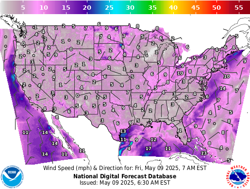
<option value="https://graphical.weather.gov/images/co ... .png">Wind Speed and Direction</option>
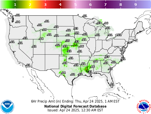
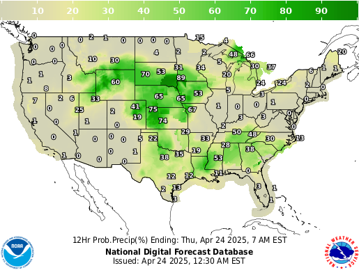
<option value="https://graphical.weather.gov/images/co ... ">Expected Precipitation</option>
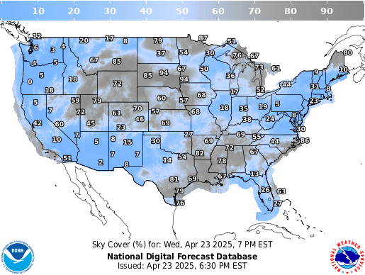
<option value="https://graphical.weather.gov/images/co ... ">Expected Sky Cover</option>
<option value="https://graphical.weather.gov/images/co ... ng">Chance of Precipitation</option>
<option value="http://airquality.weather.gov/images/co ... png">Ozone Concentration</option>
<option value="http://w2.weather.gov/images/climate/na ... f">Max/Min Temperatures</option>
Here are just the URLs without the code between them that you can click on;
"https://radar.weather.gov/Conus/Loop/NatLoop_Small.gif"
"http://www.ssd.noaa.gov/PS/PCPN/DATA/RT/NA/IR4/20.jpg" "http://www.ssd.noaa.gov/PS/PCPN/DATA/RT/NA/VIS/20.jpg"
"http://www.ssd.noaa.gov/PS/PCPN/DATA/RT/NA/WV/20.jpg"
"http://www.wpc.ncep.noaa.gov//noaa/noaa.gif"
"https://graphical.weather.gov/images/co ... _conus.png"
"https://graphical.weather.gov/images/co ... _conus.png"
"https://graphical.weather.gov/images/co ... _conus.png"
"https://graphical.weather.gov/images/co ... _conus.png"
"https://graphical.weather.gov/images/co ... _conus.png"
"https://graphical.weather.gov/images/co ... _conus.png"
"http://airquality.weather.gov/images/co ... _conus.png"
"http://w2.weather.gov/images/climate/na ... 180227.gif"
Radar US Block changes
-
dmgould

- Forecaster

- Posts: 173
- Joined: Sat Aug 26, 2017 2:43 am
- Location: Divide, Colorado, USA
- Station model: Davis Pro 2 Plus Wireless
- Software: Meteobridge
- Contact:
Radar US Block changes
Dave G


-
dmgould
- Forecaster
- Posts: 173
- Joined: Sat Aug 26, 2017 2:43 am
- Location: Divide, Colorado, USA
- Station model: Davis Pro 2 Plus Wireless
- Software: Meteobridge
- Contact:
Re: Radar US Block changes
Thanks. The High / Low map is not updating with my fix either. I see now that the file name is date coded. That will need more than just a new link to get it back working. I also just noticed there was a short radar outage at many sites this morning, but it seems to be back up and running now. It looks to be a NWS issue not a MT issue.
Dave G
-
dmgould
- Forecaster
- Posts: 173
- Joined: Sat Aug 26, 2017 2:43 am
- Location: Divide, Colorado, USA
- Station model: Davis Pro 2 Plus Wireless
- Software: Meteobridge
- Contact:
Re: Radar US Block changes
I've further updated the images in my radarUS block. I found satellite images that include the east coast of the US. The original images no longer showed this east coast sky area - I believe a satellite failure that happened sometime back. You can place these in the code but remember there are four sets of URLs to address different display options. I'm also providing these in case Jachym wants to use any or all of them in his update.
https://radar.weather.gov/Conus/Loop/NatLoop_Small.gif>Doppler
https://cdn.star.nesdis.noaa.gov/GOES16 ... 25x375.jpg>Infrared
https://cdn.star.nesdis.noaa.gov/GOES16 ... 25x375.jpg>Geocolor IR at Night
https://cdn.star.nesdis.noaa.gov/GOES16 ... 25x375.jpg>Upper-Level Water Vapor IR
https://cdn.star.nesdis.noaa.gov/GOES16 ... 25x375.jpg>Mid-Level Water Vapor IR https://cdn.star.nesdis.noaa.gov/GOES16 ... 25x375.jpg>Lower-Level Water Vapor IR
https://cdn.star.nesdis.noaa.gov/GOES16 ... 25x375.jpg>Cloud Top IR https://cdn.star.nesdis.noaa.gov/GOES16 ... 25x375.jpg>Ozone IR
http://www.wpc.ncep.noaa.gov//noaa/noaa.gif>Forecast Chart
https://graphical.weather.gov/images/co ... _conus.png>Temperature
https://graphical.weather.gov/images/co ... _conus.png>Predominant
https://graphical.weather.gov/images/co ... _conus.png>Wind Speed and Direction
https://graphical.weather.gov/images/co ... _conus.png>Expected Precipitation
https://graphical.weather.gov/images/co ... _conus.png>Expected Sky Cover
https://graphical.weather.gov/images/co ... _conus.png>Chance of Precipitation
http://airquality.weather.gov/images/co ... _conus.png>Ozone Concentration
Dave G
-
MonyMony

- Forecaster
- Posts: 192
- Joined: Sun Aug 20, 2017 12:54 pm
- Location: Elkton, Maryland, US
- Station model: Davis Pro 2
- Software: WeatherCat/Meteobridge
- Contact: